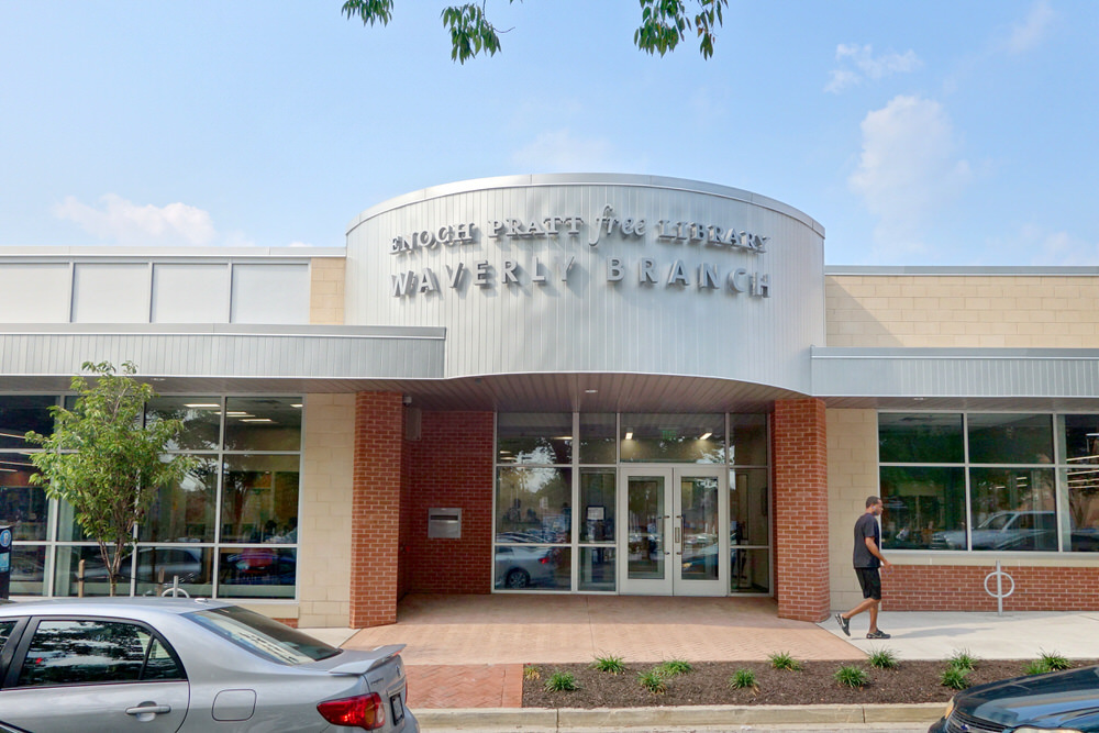


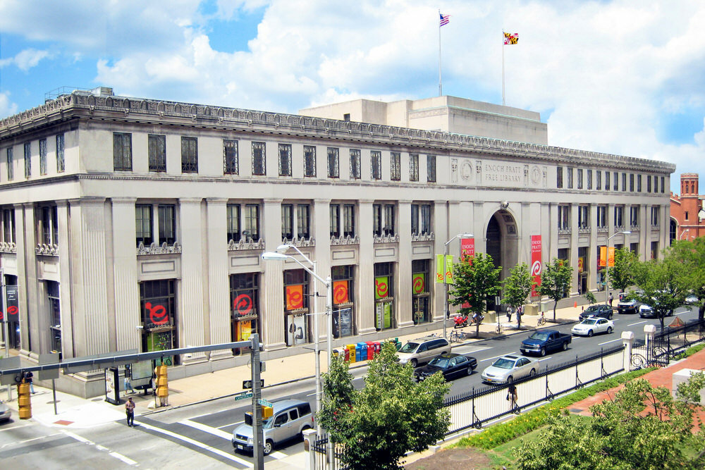
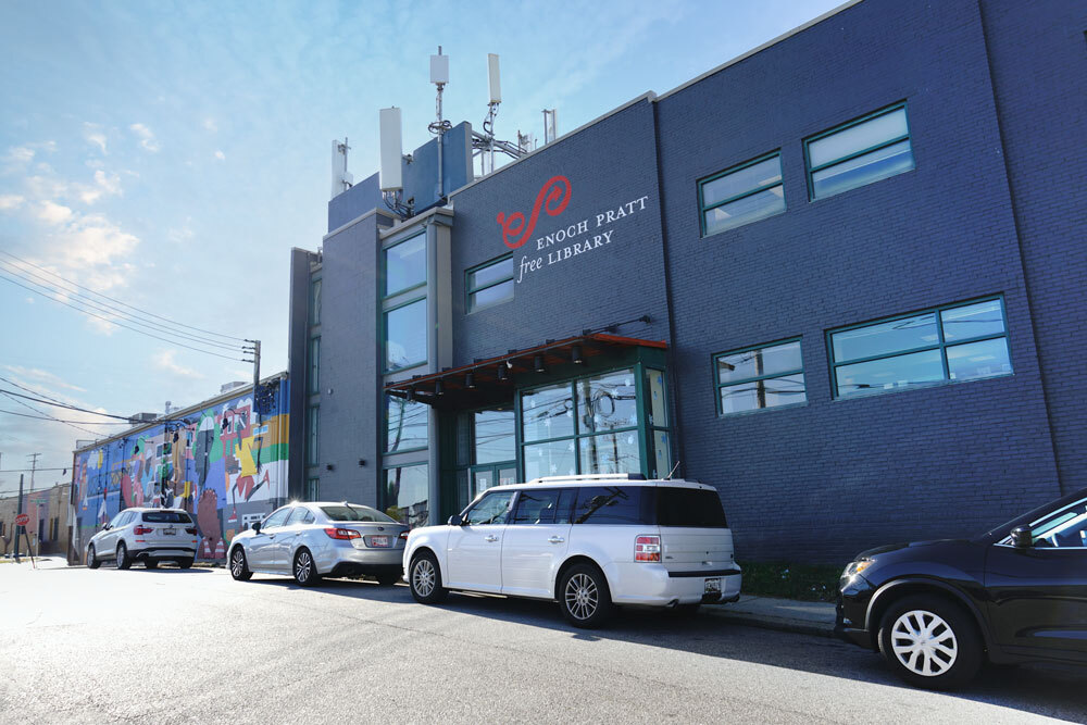
Central Library
Closed now; Opening @ 10:00 AM400 Cathedral Street
Baltimore, MD 21201
phone: (410) 396‑5430
The Central Library is located in the heart of Mount Vernon. With more than half a million visitors each year, the state-of-the-art renovations to the Central Library complement Pratt's significant print collection with the latest technologies, welcoming a vibrant future while preserving a cherished historic landmark.


Light Street
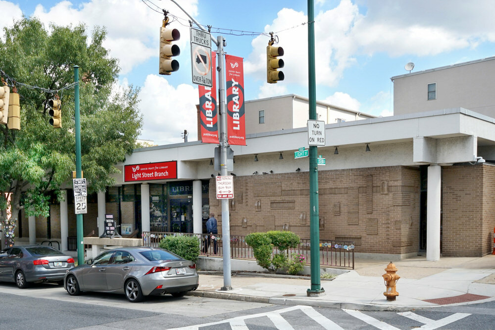
View Location